To triangulate pollution sources using sensor networks, start by calibrating each sensor accurately to guarantee measurement reliability. Combine data from multiple sensors with advanced data fusion techniques, like Bayesian inference or inverse distance weighting, to create a detailed pollution map. Analyzing concentration gradients and temporal changes helps determine the source location. When you coordinate calibration with data integration, your system becomes more precise. If you’d like to explore how this approach works step-by-step, there’s more to discover below.
Key Takeaways
- Accurate sensor calibration is essential to ensure reliable pollution measurements for effective triangulation.
- Data fusion techniques combine multiple sensor readings to improve source location accuracy.
- Analyzing concentration gradients and temporal changes helps determine pollution direction and proximity.
- Using algorithms like inverse distance weighting or Bayesian models enhances the precision of source localization.
- Proper calibration and integrated data analysis enable targeted environmental interventions and pollution management.
Have you ever wondered how scientists pinpoint the exact sources of pollution in complex environments? It’s a challenging task, but advancements in sensor networks have made it more achievable than ever. To accurately identify pollution sources, these networks rely heavily on precise sensor calibration and data fusion techniques. Sensor calibration is essential because even slight inaccuracies can lead to misidentifying pollution origins. When sensors are properly calibrated, they provide reliable measurements, guaranteeing the data collected reflects the true pollutant levels. This process involves adjusting sensor outputs to match known standards, which minimizes errors and improves overall data quality. Proper calibration becomes especially important when dealing with multiple sensors spread across a geographic area, as inconsistencies could distort the entire analysis.
Accurate sensor calibration ensures reliable pollution data for effective environmental analysis.
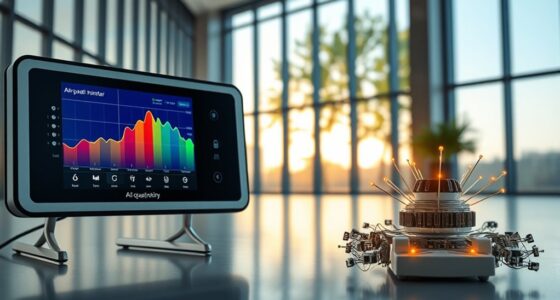
Once sensors are calibrated, the next step is to gather data from various points within the environment. Data fusion plays a key role here. It involves combining information from multiple sensors to create an all-encompassing picture of the pollution landscape. Instead of relying on a single measurement, data fusion synthesizes data streams, accounting for different locations and times, to identify patterns and pinpoint sources with greater confidence. This technique helps smooth out anomalies and reduces the impact of sensor noise, leading to more accurate source localization. Additionally, the effectiveness of these methods depends on the accuracy of sensors, emphasizing the importance of calibration processes.
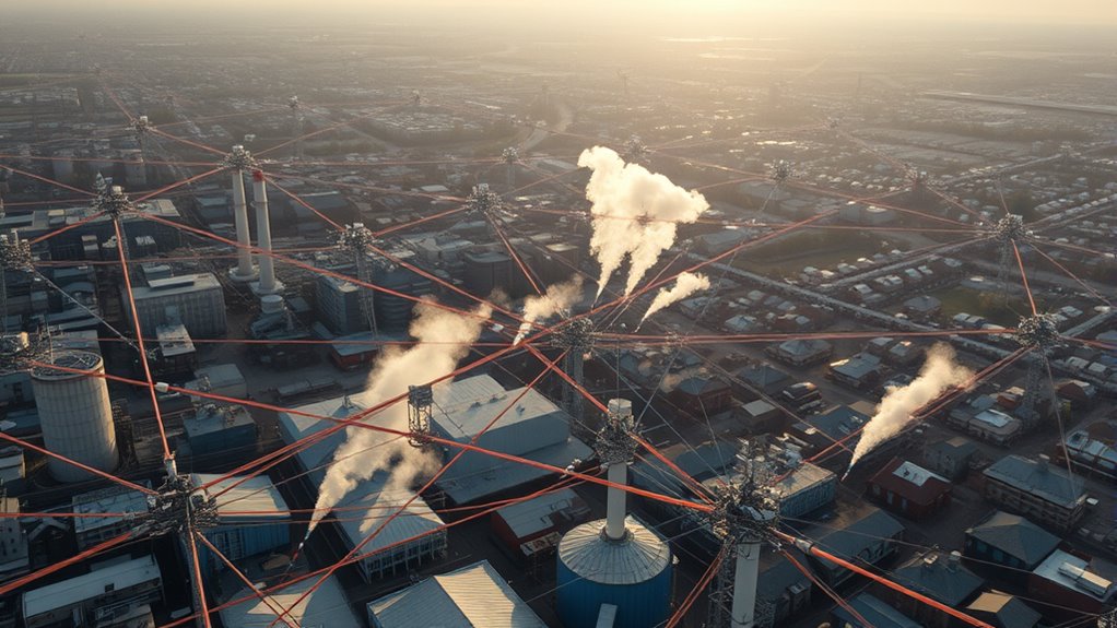
With calibrated sensors providing trustworthy data and data fusion integrating multiple inputs, you can effectively triangulate pollution sources. The process involves analyzing concentration gradients and temporal changes in pollutant levels across the sensor network. By comparing measurements from different sensors, you can determine the direction and approximate distance of the pollution source. Algorithms process this data, often using mathematical models such as inverse distance weighting or Bayesian inference, to estimate the most probable location of the emission point.
This approach isn’t just about identifying where pollution is coming from; it’s also about understanding how it disperses through the environment. Precise sensor calibration ensures the measurements are valid, while data fusion allows you to leverage the full richness of the collected data. Together, these methods enable a detailed analysis that can inform targeted remediation efforts or policy decisions. In essence, triangulating pollution sources becomes a systematic, data-driven process—one that hinges on accurate calibration and intelligent data integration—making complex environmental monitoring more effective and reliable.
Frequently Asked Questions
How Accurate Are Triangulation Methods in Urban Environments?
Triangulation methods can be quite accurate in urban environments, but urban canyon effects often challenge precision. Tall buildings and narrow streets create signal reflections and blockages, causing measurement errors. To improve accuracy, you need proper sensor calibration, ensuring readings are reliable despite environmental influences. Combining multiple sensors and advanced algorithms helps mitigate urban canyon effects, making triangulation more dependable even in complex city landscapes.
What Are the Limitations of Sensor Network Coverage?
Did you know that poor sensor network coverage can leave up to 40% of pollution sources undetected? Limited coverage stems from suboptimal sensor placement and low data resolution, which restricts the ability to accurately identify pollution hotspots. These gaps mean you might miss critical information, making it harder to respond effectively. To improve results, focus on strategic sensor placement and increasing data resolution for all-encompassing, reliable pollution monitoring.
How Do Weather Conditions Affect Pollution Source Detection?
Weather conditions considerably impact pollution source detection by influencing atmospheric variability, which can cause pollutants to disperse unpredictably. You need to account for this variability through consistent sensor calibration to guarantee accurate readings. Wind, rain, and temperature changes can distort sensor data, making it harder to pinpoint pollution sources precisely. By adjusting for these weather impacts, you improve the reliability of your sensor network’s ability to detect and triangulate pollution sources effectively.
Can Triangulation Identify Multiple Pollution Sources Simultaneously?
Absolutely, triangulation can identify multiple pollution sources at once, but watch out for source overlap and signal interference. These issues can cause confusion, making it harder to distinguish individual sources. Like trying to find a needle in a haystack, overlapping signals may blend, complicating the detection. To improve accuracy, you’ll need advanced algorithms that can filter out interference and separate overlapping signals, ensuring you pinpoint all pollution origins precisely.
What Are the Costs Associated With Deploying Sensor Networks?
You’ll face costs like purchasing sensors, ensuring proper sensor calibration, and maintaining data transmission infrastructure. Calibration is essential for accuracy, and ongoing calibration might be needed as sensors age or environmental conditions change. Data transmission costs can include network setup and bandwidth fees. Additionally, you should consider expenses for installation, periodic maintenance, and data management systems. Overall, deploying a sensor network requires substantial upfront investment and ongoing operational costs.
Conclusion
So, by mastering this triangulation method, you’ll become the superhero of pollution detection, pinpointing sources faster than a speeding bullet! No more wandering in the dark or guessing where those sneaky pollutants are hiding. With your sensor network powers, you’ll outsmart pollution like a detective in a blockbuster movie, saving the environment one pinpointed source at a time. Get ready to make pollution vanish into thin air—your super-sleuth skills are about to reach legendary status!

In the dynamic world of air purifiers and clean air advocacy, Aire stands out as a beacon of knowledge and passion. As the Editor in Chief of Aero Guardians, Aire has been instrumental in shaping the platform’s voice and direction, ensuring that every piece of content resonates with clarity, authority, and authenticity.